-40%
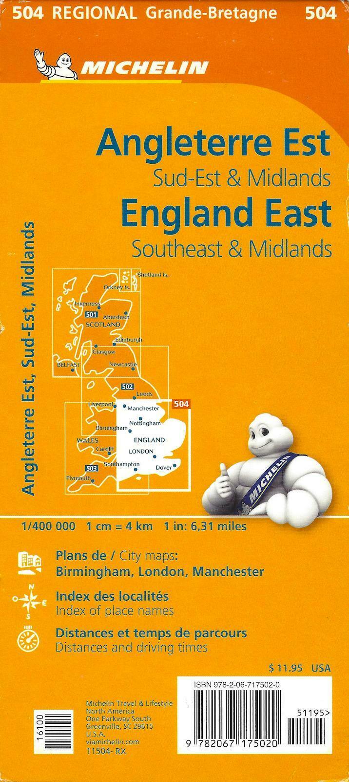
Map of South East England, The Midlands, East Anglia, Michelin Map #504 - 2018
$ 4.19
- Description
- Size Guide
Description
Map of South East England, The Midlands, East Anglia, Michelin Map #504NOTE: map is new, but is a dealer return, may have mild wear marks on the cardboard cover.
Priced accordingly.
One of a set of four regional Great Britain maps produced by Michelin, this fold map covers Wales, and the south west regions of England
City maps of Birmingham, London, Manchester, fully indexed, distance and driving times.
Ideal for throwing into the glove box on a motoring journey around ole Britannia, the legend is several languages including English. Roads are marked, in some cases showing widths and distances. Major routes are shown along with any nasty obstacles one could encouter, such as difficult roading in Scotland (it even says that!), toll barriers and low overpasses. There is also public transport, country borders, creational facilities, sights and areas referred to in the Green Guide books, (yes we peddle those too!).
There are insets at 1:200 000 scale of the major cities/towns. Also included are a driving distances table, an index and smaller insets of the Channel Islands.
Map is fully indexed, and comes with a driving time and distance chart.
When unfolded, map measures approx. 48" x 36"
Scale is 1:400,000, 1 inch = 6.31 miles
Publication date: 2018, ISBN
9782067175020

